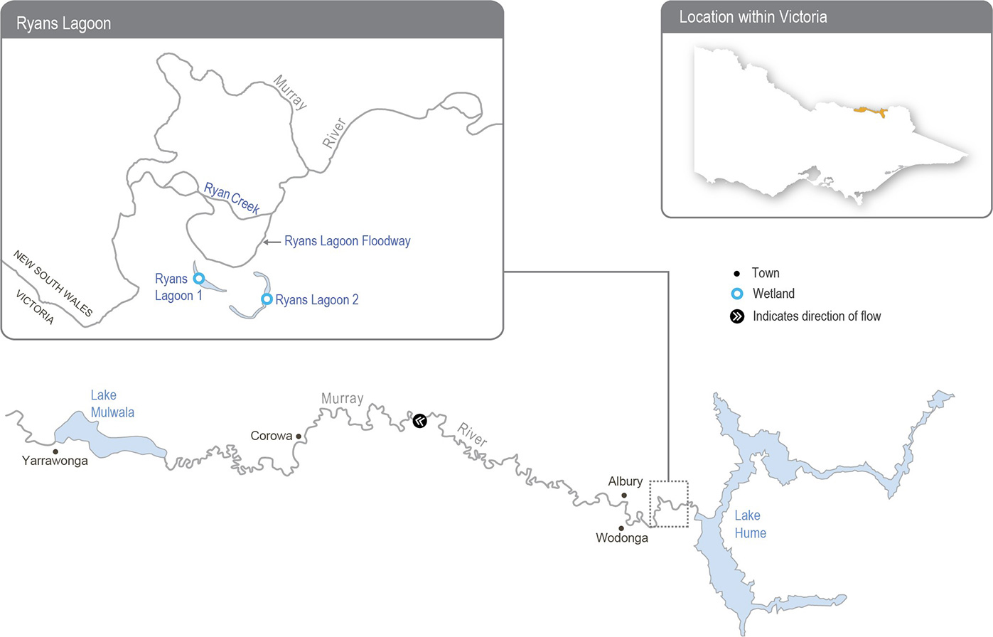
The Ryans Lagoon wetland complex is a network of wetlands positioned downstream of the Lake Hume water storage and upstream of the Kiewa River confluence with the Murray River.
Flows into the complex are mainly influenced by regulated releases from Lake Hume, which travel via Ryans Creek, an anabranch of the Murray River. The complex begins to fill from Ryans Lagoon Floodway when the flow in the Murray River exceeds 23,000 ML per day, but a flow above 26,000 ML per day for extended periods is needed to completely fill both lagoons. High unregulated flows that move across the Kiewa River floodplain during wet conditions can also inundate the site. The regulated flow from Lake Hume has not exceeded 20,000 ML per day since 2014, which has greatly reduced the frequency of watering at Ryans Lagoon.
Temporary pumps are proposed to deliver water for the environment to restore the ecological health of the complex by providing a wetting and drying regime that is closer to the natural flow regime that existed before the Murray River was regulated. Water can be pumped into Ryans Lagoon from the Ryans Lagoon Floodway, which carries water when the flow in the Murray River exceeds 8,000 ML per day. A potential spring pulse of up to 25,000 ML per day (at the Doctors Point gauge) would provide water directly to Ryans Lagoon 1 via the Ryans Lagoon Floodway, but it is likely a pump would still be required to deliver water from Ryans Lagoon 1 to Ryans Lagoon 2 to achieve a full supply level.
The North East CMA is investigating options to improve watering regimes at other wetlands along the upper Murray floodplain.
Figure 5.2.1 The upper Murray wetlands
